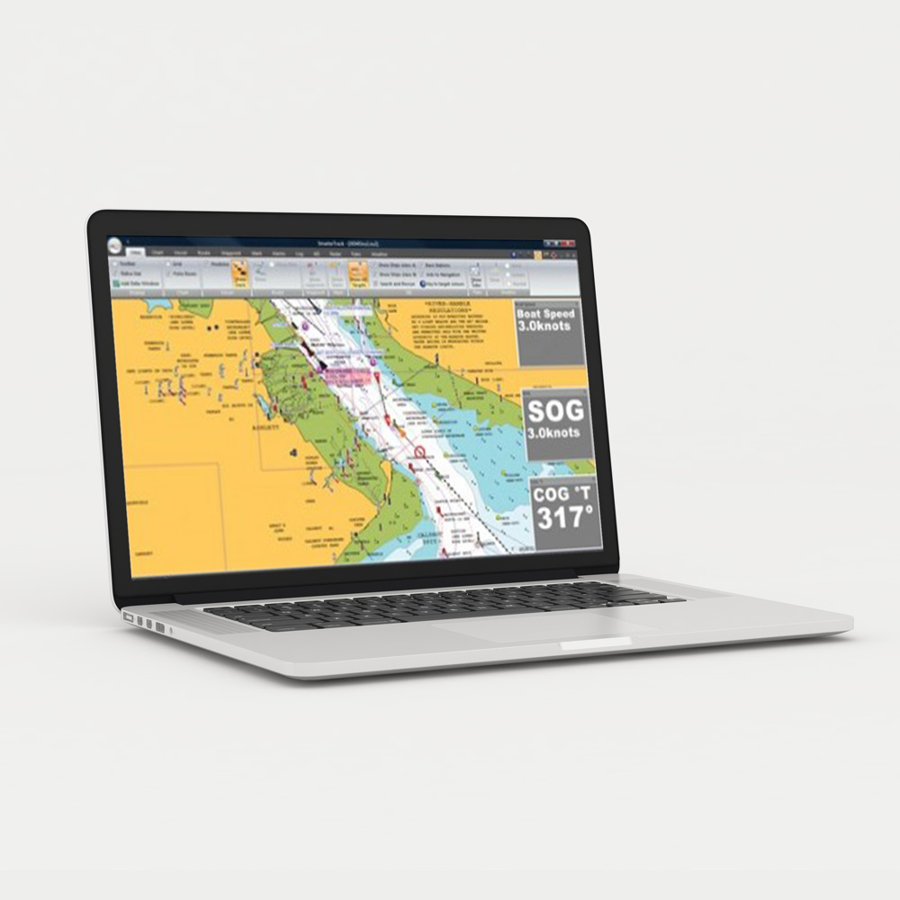
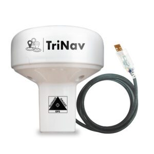
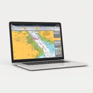
SmarterTrack is the ideal PC marine navigation software for anyone who has a dedicated chart plotter that uses Navionics Gold, Platinum or Platinum+ chart cartridges. Also, for anyone who is new to electronic charting and wants simple to use PC navigation software with good AIS support.
Planning at home, monitoring from the chart table or similarly as a self contained independent backup system, SmarterTrack turns your PC in to an invaluable navigation tool. As a result, it will display your GPS position and the location of all the surrounding AIS targets on the accurate and detailed Navionics electronic charts.
AIS support includes; colour coded targets, user selectable labelling of targets, fully configurable CPA and TCPA alarms, visual indication of CPA and AIS targets drawn to scale. Many other other settings and features also make this software ideal for displaying AIS data.
Moreover, entering the route you wish to sail, checking the tides, overlaying weather (GRIB files), confirming depths or nav-aids on the chart and a whole host of other routine navigational tasks can be performed simply and effortlessly with SmarterTrack.
SmarterTrack is delivered as a digital download and comes with a licence for up to two concurrent PCs. A licence key will be emailed to you with a link for the download. The licence can also be transferred to other PCs using an uninstall process. Smartertrack can be used on any PC running a Windows XP/Vista/7/8/10/11 operating system. A fully NMEA 2000 compliant version is also available with a USB to NMEA 2000 interface.
 Australia


